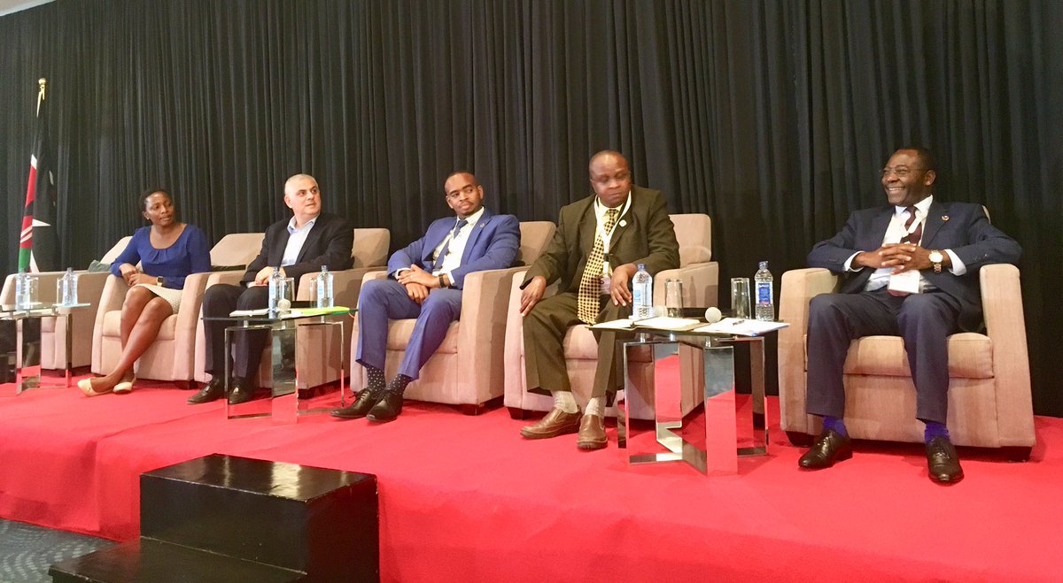
The Global Partnership for Sustainable Development Data (GPSDD), through the Office of the Deputy President in partnership with Bill and Melinda Gates on Thursday organized a forum at the Radison Blu Hotel to discuss the Earth Observation and Development.
The Earth Observation (EO) and Geospatial information is described to own the potential for monitoring targets, planning, tracking progress and aid in data driven decision making for the Country and County plans, including the Sustainable Development Goals (SDGs).
Combined with demographic and statistical data, EO and Geospatial Data, will enable nations to analyze and model conditions, create maps and other visualizations, evaluate impacts across sectors and regions, to monitor change over time in a Consistent and standardized manner and improve accountability.
In an event attended by the Cabinet Secretary to the Ministry of Defense, Ambassador Raychelle Omamo and grazed by different stakeholders from local and international Data Companies, Data Space and Data distribution was spearheaded as the major cause to boost development in Kenya.
While delivering her speech, the CS emphasized on the importance that the Data Cube will have to the government.
“It can be leveraged for development, decisions and action to enable the country like Kenya to lead across the continent in data and info distribution.” She said.
In the agricultural sector, the CS said the government would be able to monitor the climate change and advice farmers on what agricultural products to work on.
“They EO can help the government address climate development challenges, to better understand crop distribution and enable innovators to build applications that will enable monitoring in agriculture sector.” She added.
The African Regional Data Cube (ARDC) is based ono the Open Data Cube (ODC) infrastructure which has been successfully demonstrated in Australia, Switzerland, Colombia and Mexico, and is under development or evaluation by more than 30 other countries globally.
The ODC will allow analysis-ready satellite data to be spatially and temporarily aligned in ‘cubes’ of pixels.
Ambassador Omamo also cited the Kenya Space Agency (KSA) chaired by Retired Major General James Arusa is now an independent body and that it’s upon the agency to enable data and its distribution is well maintained and released to the public for access.
Citing unpreparedness, the CS advised data space organizations to first have their information ready at all time before claiming that nothing can be done. “Put money in your mouth when you have enough in the pocket. First get the data such that when you are asked about it, you are ready to share instead of saying you will have to find out more.” Omamo said.
The Open Geospatial Data for Development will bring together government agencies, including countries, industries and researchers in the area of Earth Observations and Geospatial information with the objective of creating a high-level political momentum on the potential of Earth Observations and Geospatial Information use for policy and decision making and action.
It will also help in familiarizing the geospatial data community with the developments within government on Earth Observation and geospatial data, exploring a framework for technical collaboration and multi-stakeholder engagement on utilization of Geospatial and Earth Observation between Governments, Academia, civil society, tech and industry on interoperability.
The OGDD is also set to enhance the sharing of experiences and case studies on use of Earth Observations for spatial planning, open government Big 4 Agenda and Sustainable Goals.

